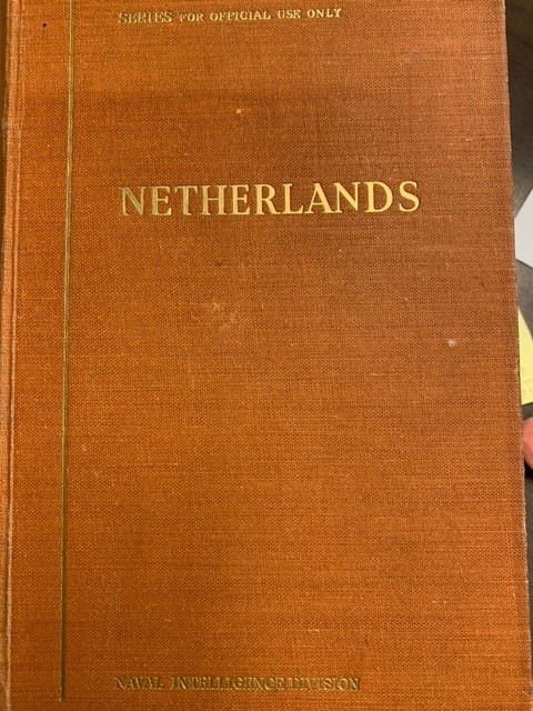
Beschrijving
Naval Intelligence Division, October 1944, 756pp. with two fold out maps (Netherlands, Bartholomew/Edinburgh Geographical Society, Geological map by Oosting 1937), many illustrations, lists, charts and maps. Very interesting and complete wartime book informing the British armed forces (notably the admiralty) about the features of the Netherlands. Scarce. From the library of Prof. Dr. G.P. van de Ven. Gerard van de Ven (1941-2017) was a prominent Dutch scholar, author and professor at the Universiteit van Amsterdam. He was specialised in waterstaatsgeschiedenis (history of water management) and historical geography. He wrote many books, articles and contributed to many publications.